Tuesday
Nov292016
Salt storage impact to potable water supply
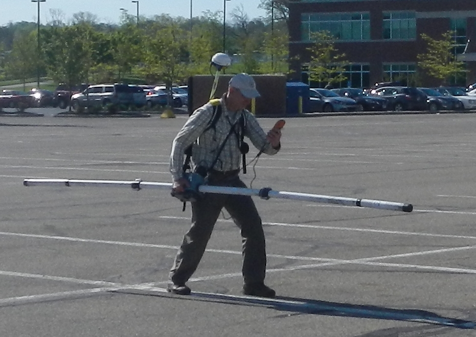
Xenon completed an electromagnetic survey to map the distribution of chlorides in shallow soils in the vicinity of a supply well. Magnetic gradiometry data were collected to evaluate the presence of abandoned well casings. The results are compelling and show the influence of previously unmapped utility corridors that were likely installed for an interment camp that was located at the site in the 1940s.
This image shows areas of increased conductivity (red-orange) that are attributed to chloride content with distinctly linear anomalies interpreted as underground utilities. Soil sampling corroborated the results.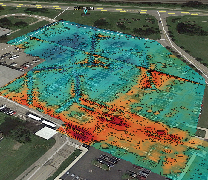 background imagery per Google Earth Pro.
 Xenon Geosciences, Inc.