Low Head Dam Removals
 Attended an excellent workshop on the removal of low head dams. Their impacts can be far-reaching and include public recreational use, stream ecology, water resources, the transport of sediment and bound contaminants and others. It is key to understand the complexities of each dam and its unique local environment.
Electromagnetic survey for mapping near-surface chlorides
The EM-31 is an excellent tool when the depth of interest < 6 meters. Here it is coupled with a DGPS receiver to provide very rapid mapping even when on foot.
This survey mapped near-surface chlorides (high electrical conductivity) and deep utility corridors that serve as possible migration pathways. Results shown >here<
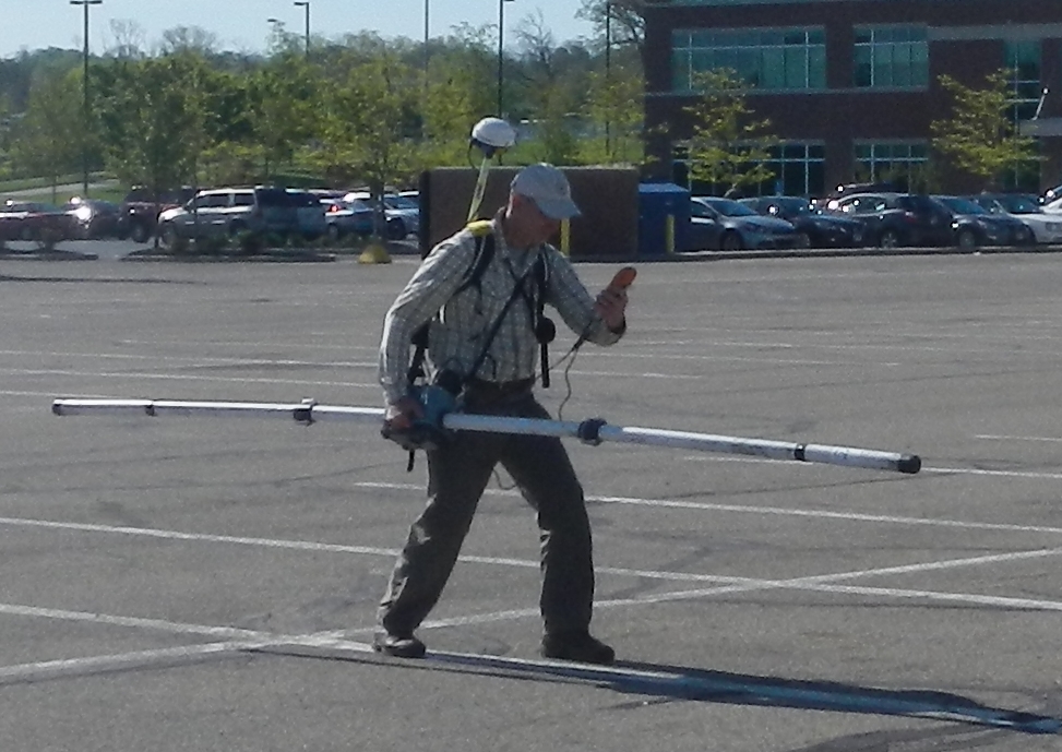
Action pose during data collection. Good conditioning prior to our Wales Coastal Path hike.
 E/M, Geophysics, Mapping
 Looking back from one extreme to another
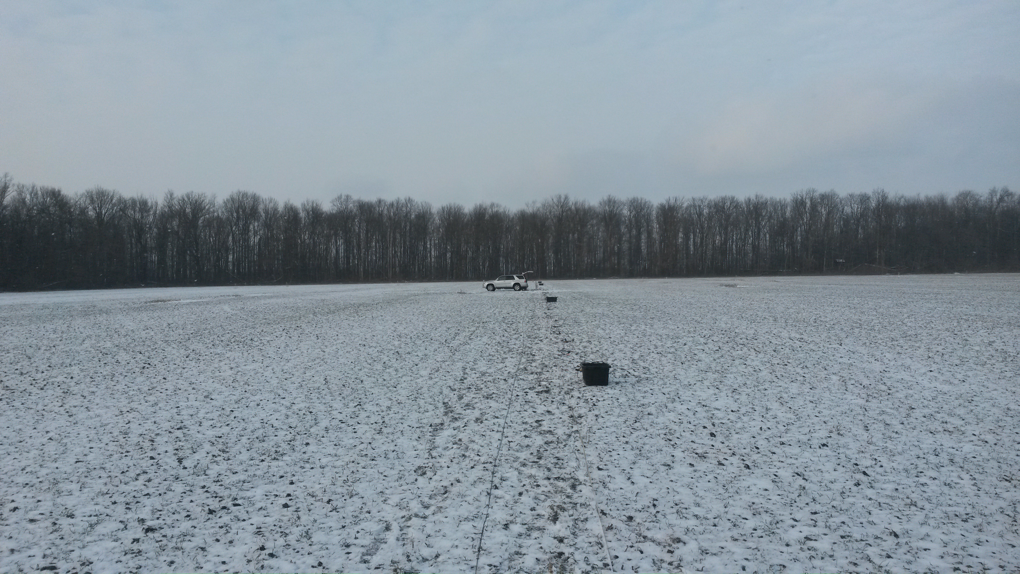
With this heat wave, it helps to look back at cooler time. This was taken during a refraction survey to support a seismic site classification from Vp / Vs. Single digits and windy. At least when its cold you can layer up and get warm. Doesn't work in reverse when it is hot; there are practical limits to layering down.
Geophysics, Mapping, refraction, seismic, seismology The vertical fingerprint of earthquake cycle loading in southern California
Howell et al find a coherent pattern of uplift and subsidence straddling the San Andreas fault system in southern California using vertical velocities derived from global positioning system data, improving the quantification of seismic hazards in southern California and beyond.

http://www.nature.com/ngeo/journal/vaop/ncurrent/full/ngeo2741.html
Xenon Geosciences, Inc.
Sam Howell's research of San Andreas fault system earned a spot in the 2016 Popular Mechanics Breakthrough Awards!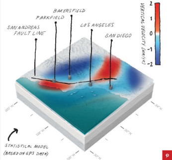
Geophysics, Mapping, seismology, tectonics